Loading content...
Blank North Carolina Map | Printable NC Map PDF

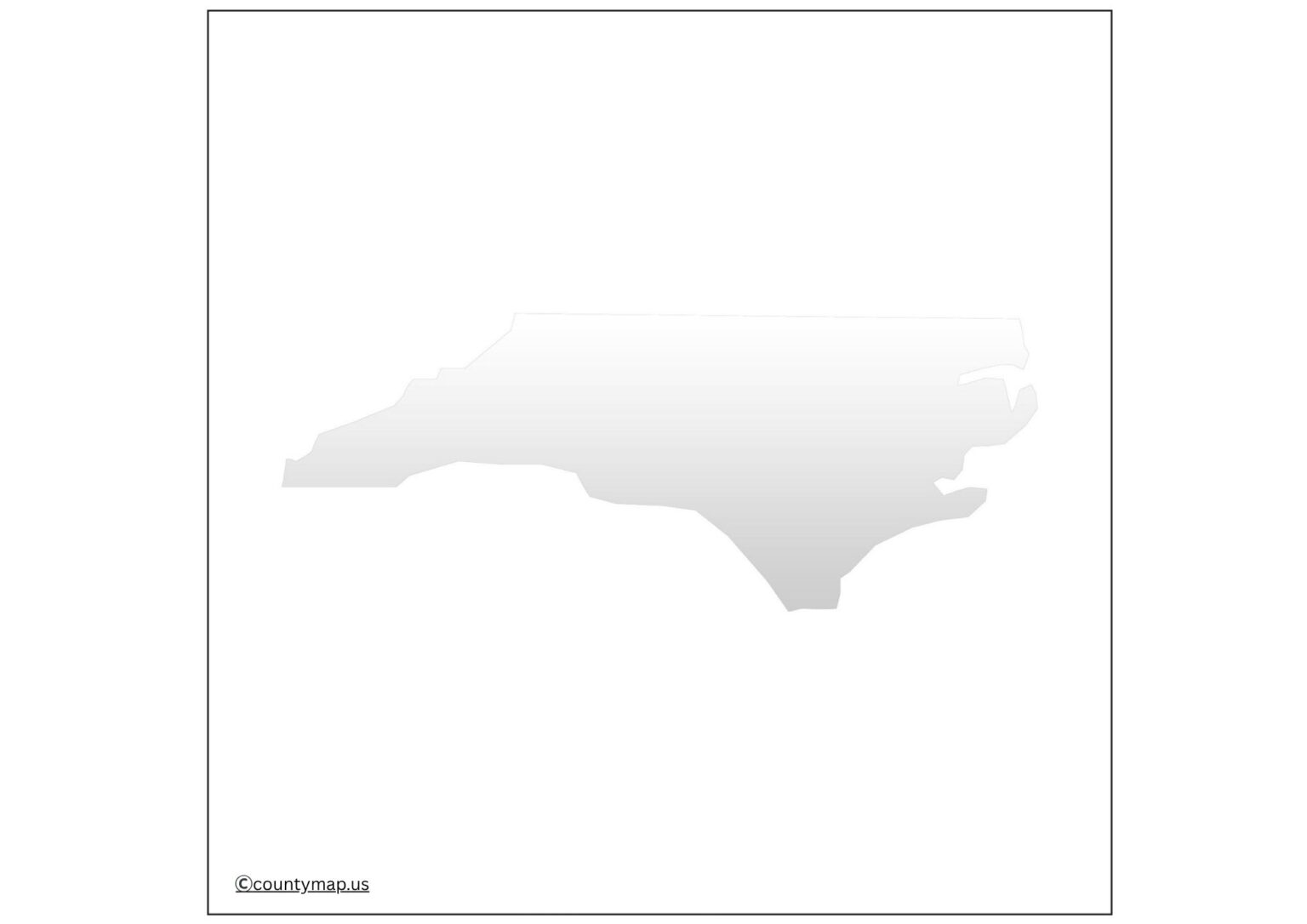
A blank North Carolina map is a very useful resource to a teacher, student, traveler, and researcher. North Carolina is a state that is very historical and full of culture, with a very varied geography. The state has a distinctive geographical environment, starting along the Atlantic coastline to the Appalachian Mountains, which can be better analyzed and determined with the help of a blank map. Blank maps are also adaptable learning and reference tools, unlike labeled maps, because users are given freedom to add detail based on their individual needs.
Blank North Carolina Map
The maps may be utilized in classrooms during the instruction about counties, cities, rivers, or other North Carolina landmarks. To travelers, these can act as a planning tool where they can mark routes, destinations, and places of interest. Blank maps can be used by researchers and analysts in demographic research, historical research, and political analysis. The map is simple, which promotes active learning and enables the user to visualize the geography of the state.
Free Printable North Carolina Blank Map
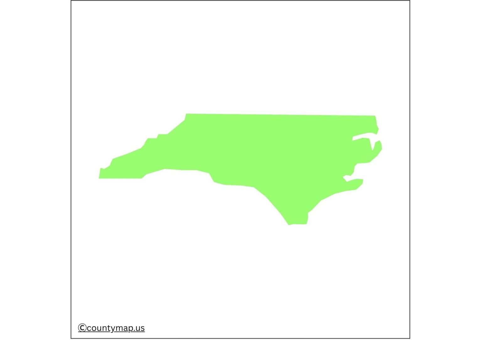
Blank North Carolina maps that are printable and downloadable are very easily available in the modern digital world and can be useful both in academia and in practice. They are also conducive to creativity, where people can customize the maps using colors, markers, or symbols for their projects.
| City | County | Population (2024) | Area (sq mi) | Population Density (per sq mi) |
| Charlotte | Mecklenburg | 943,476 | 309 | 3,060 |
| Raleigh | Wake | 499,825 | 145 | 3,448 |
| Greensboro | Guilford | 307,381 | 134 | 2,294 |
| Durham | Durham | 301,870 | 109 | 2,780 |
| Winston-Salem | Forsyth | 255,769 | 134 | 1,912 |
| Fayetteville | Cumberland | 209,496 | 148 | 1,419 |
| Cary | Wake | 182,659 | 60 | 3,032 |
| Wilmington | New Hanover | 125,284 | 51 | 2,457 |
| High Point | Guilford | 118,601 | 56 | 2,100 |
| Concord | Cabarrus | 112,395 | 64 | 1,757 |
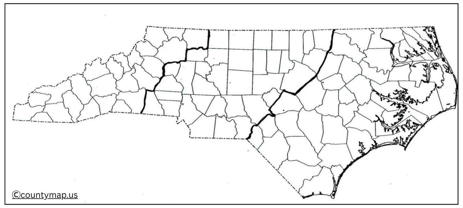
Uses of NC Map Outline PDF
Educational Purposes
- Blank North Carolina maps are those that must be found in schools and universities.
- They may be used during geography classes where the students will be able to label the counties, state borders, rivers, and cities.
- They also encourage active learning because students learn by identifying and not watching features.
- Quizzes, assignments, and project-based learning in history and social studies can be done using blank maps as well.
Travel Planning
- Blank maps are handy for travelers and tourists in preparing their trips.
- They can highlight routes and roads and point out attractions like the Blue Ridge Parkway, the Great Smoky Mountains, or the Outer Banks.
- The personalized maps can be used to visualize road trips and outdoor adventures around North Carolina.
Research and Analysis
- Blank maps can be very customizable data representation tools for researchers.
- They may exemplify the distribution of the population, climate, farming lands, or historic migration history.
- Blank maps can also be useful to political analysts who want to present voting districts, election results, or campaign planning.
Business and Logistics
- Blank maps are common in business and are used to design distribution routes, mark service areas, or plan expansions.
- In the case of logistics companies, the service offers them a visual way of monitoring the delivery, warehouses, and transport hubs throughout North Carolina.
- This increases the organization and efficiency of operations.
Creative Projects
- Blank maps are also applicable to creative areas.
- They can be used by students or hobbyists in art projects, to do coloring exercises, or to create personal wall art.
- These maps may be used by historians and genealogists to depict movements by ancestors or the boundaries of history.
Community and Government Use.
- Blank maps could be used by local governments, non-governmental organizations, and community organizations in public planning, emergency management, or awareness campaigns.
- As an example, they can highlight the flood-sensitive regions, medical facilities, or schools so that they can communicate easily with the residents.
Conclusion
A blank North Carolina map is not simply a geographic outline but is an all-purpose educational, travel, research, business, and creative tool. The blank format is conducive to active learning, data representation, and personalized planning, which makes it a priceless tool for students, teachers, and travelers, as well as professionals. So that with the simple accessibility in both digital and printable forms, these maps offer numerous possibilities of customization. North Carolina maps are simple and flexible, whether used in the classroom or an officer's personal project, and will always be a classic to anyone who wishes to explore, study, or plan any activity in the state.


