Loading content...
Blank Pennsylvania Map | Printable PA Map PDF

The Blank Pennsylvania Map is mostly required by students, teachers, travellers, and researchers who are looking for a clear outline map of the state of Pennsylvania that can be customised easily. Pennsylvania, a state in the northeastern U.S., is built on the age-old intertwining of history and nature, exemplifying the glory of culture and landscapes that create lasting memories in the hearts of travellers. Strategically and historically significant, the state of Pennsylvania is surrounded by New York, New Jersey, Delaware, Maryland, West Virginia and Ohio.
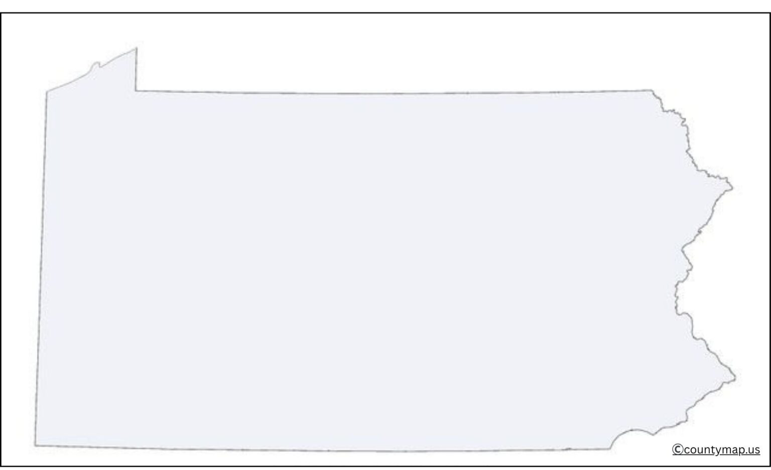
A blank map of Pennsylvania can be a really helpful (and quick) tool because one can mark places, cities, counties, rivers, and highways in our own way so the information can be tailored to suit their needs. It is useful in classrooms to teach students geography, dividing states, and natural features.
Free Printable Blank Pennsylvania Map
It has applications in data visualisation for researchers and historians, historical analysis using statistics, and demographic studies. Blank maps are also used in business and organisational marketing, logistics and regional planning. The blank Pennsylvania map emerged as a truly universal and practical map that is simple and adaptable for numerous uses.
| Rank | City | Population (2025) | Area (sq mi) | County |
| 1 | Philadelphia | 1,573,916 | 143 | Philadelphia |
| 2 | Pittsburgh | 307,668 | 58 | Allegheny |
| 3 | Allentown | 127,138 | 18 | Lehigh |
| 4 | Reading | 96,000 | 10 | Berks |
| 5 | Erie | 92,940 | 19 | Erie |
| 6 | Upper Darby | 86,045 | 8 | Delaware |
| 7 | Scranton | 75,905 | 26 | Lackawanna |
| 8 | Bethlehem | 77,841 | 20 | Northampton |
| 9 | Bensalem | 63,080 | 21 | Bucks |
| 10 | Abington | 59,075 | 16 | Montgomery |
| 11 | Lancaster | 58,441 | 7 | Lancaster |
| 12 | Lower Paxton | 55,465 | 24 | Dauphin |
| 13 | Bristol | 54,145 | 17 | Bucks |
| 14 | Millcreek | 53,059 | 33 | Erie |
| 15 | Harrisburg | 50,649 | 12 | Dauphin |
| 16 | Haverford | 48,689 | 10 | Delaware |
| 17 | York | 43,718 | 5 | York |
| 18 | Altoona | 43,963 | 10 | Blair |
| 19 | State College | 42,000 | 6 | Centre |
| 20 | Wilkes-Barre | 41,000 | 7 | Luzerne |
Uses of Blank Pennsylvania PA Map Outline PDF
Educational Purposes
- Classrooms across the United States employ blank outlines of Pennsylvania maps to study geography, boundaries, and the location of the state to the rest of the United States.
- Best used when naming big cities, rivers, mountain ranges and adjoining states.
- Useful in school work, geography tests, and un-boring school projects.
Geographical Understanding
- Gives a good visual perspective of the border, form and neighbouring states of Pennsylvania.
- Helps Teachers introduce students to the name of the Appalachian Mountains, major water bodies such as the Delaware and Susquehanna Rivers and region divisions such as Western PA and Eastern PA.
- It can be used to compare Pennsylvania to other states in the U.S.
Travel and Tourism Planning
- Travellers outline a blank PA map and write the destinations and routes, and travel itineraries.
- They can be used by tourism boards to promote attractions such as Hershey Park, Gettysburg and Poconos.
- Great to make up personal travel guides or visitor brochures.
Business and Marketing Use
- The map allows businesses to indicate the location of stores, service areas, or delivery routes throughout Pennsylvania.
- Customer regions, market segmentation, and regional sales plans can be visualised by the marketing teams.
- Ideal when using in presentations, reports, or graphics marketing materials.
Urban Planning and Real Estate.
- Blank maps are the ones used by real estate agents and developers to show property areas, areas where development will take place, and county boundaries.
- Outline maps enable urban planners to develop community plans or industrial infrastructures.
- Helps find population density or zoning boundaries by sight.
Research and Statistical Analysis.
- Outline maps are used by academics and researchers to plot demographic statistics, economic statistics, and environmental trends.
- Very useful in mapping information such as the population density, income scale, or farm areas.
- Allows visualisation of reports, surveys and data presentations.
Historical Studies and Projects.
- Historical battlefields, settlements and migration paths can be marked by students and historians.
- Of use in the study of Pennsylvania in U.S. history, events of the American Revolution and the Civil War.
- able to construct historical chronicles with a geographical background.
Art and Creative Design
- Blank maps are used by graphic designers in artistic work, the infographics and posters as teaching tools.
- Best to use in colouring exercises, do-it-yourself projects and decorative wall prints.
- Pennsylvania artists can idealise the map using colours, surfaces, or cultural representations.
Exams and Competitions
- Popular with geography bees, map competitions, and state knowledge competitions.
- Students do not have to use labelled maps to practice locating the essential places.
- Encourages cerebral retrieval and three-dimensional analysis.
Customizable and Printable Utility.
- The outline of the Pennsylvania map in a blank PDF can be easily printed in various sizes, A4, letter or poster.
- Interactive PDFs enable the addition of their own labels, colours and notes.
- It may be used repeatedly in any number of educational or professional ways.
Conclusion
The Blank Pennsylvania Map is a useful and standard-purpose tool for different applications. Students and educators can make learning enjoyable, travellers can plan a trip and trace places! It is used by businesses and organisations for logistics, marketing, and strategic initiatives. Its functionality is especially useful for historians and researchers in fields that use historical analysis quantitatively and qualitatively, such as data visualisation, analysis, and text processing. You can use it in several ways, and that makes it ideal for creative projects, custom maps, and classroom use as well. Thanks to its simple design and easy-to-read format, the blank Pennsylvania map is a great tool for anyone looking to study, discover, or even showcase information about the geography of the state.