Loading content...
Blank Ohio Map | Printable OH Map PDF

Bank Ohio Map is one such tool that provides an easy and understandable illustration of the state minus labels, markings and any other details. Ohio, which is located in the Midwest, borders Pennsylvania, West Virginia, Kentucky, Indiana, and Michigan, and takes Erie to the north. Being strategically located, Ohio has a significant contribution to the history, geography, transportation, and culture of the U.S. An empty outline map of Ohio gives the user the flexibility to make the map suit various needs, including education, travel, research and presentations.
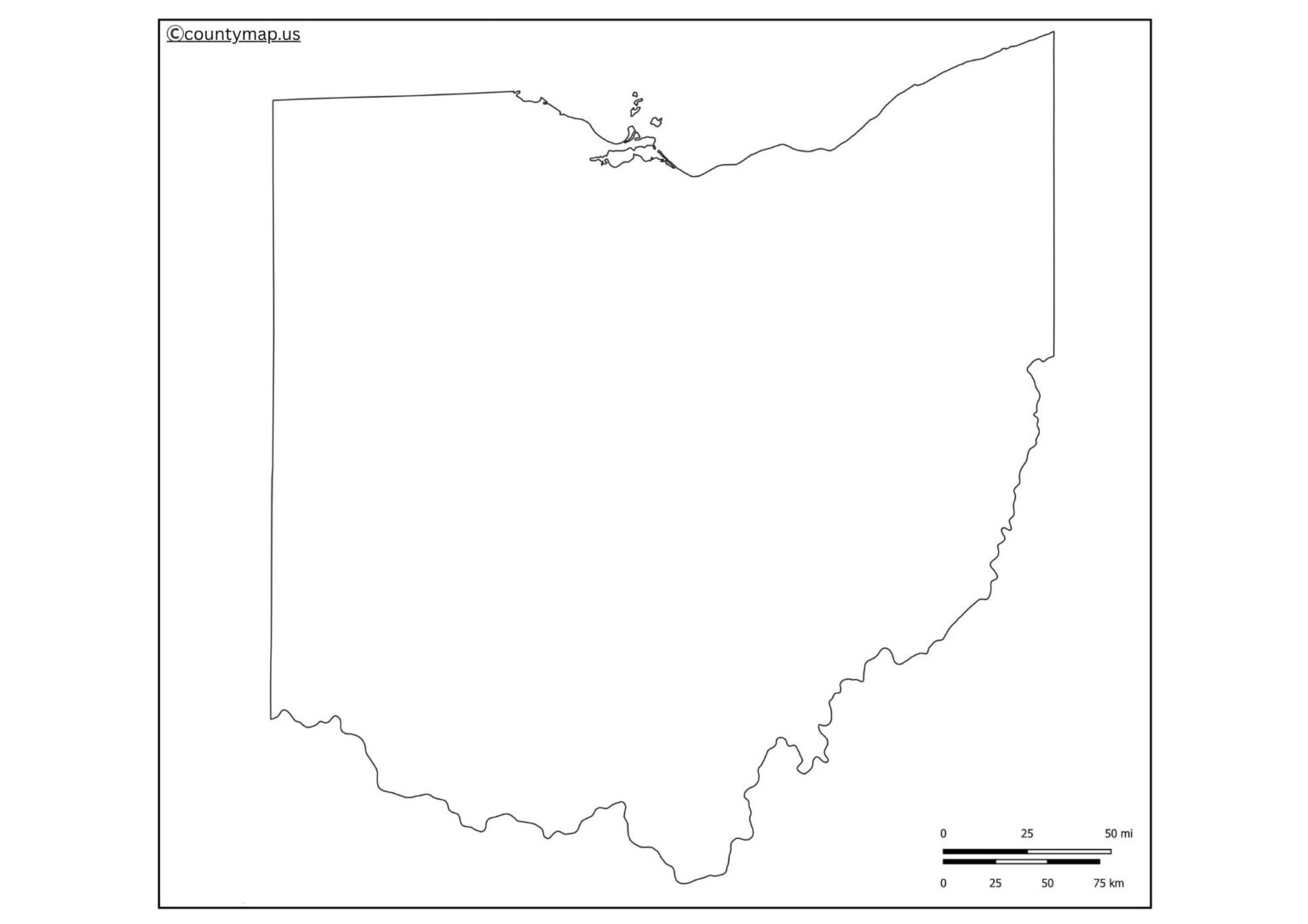
An empty Ohio map gives students an opportunity to study the counties, cities, rivers, and highways of this state. Classroom tasks, such as quizzes, labelling activities, or project wo,rk can be created to enhance geography. It might be helpful for travellers to plan road trips or highlight routes, or mark destinations. It can be used by historians and researchers to study and represent data.
Free Printable Blank Ohio Map
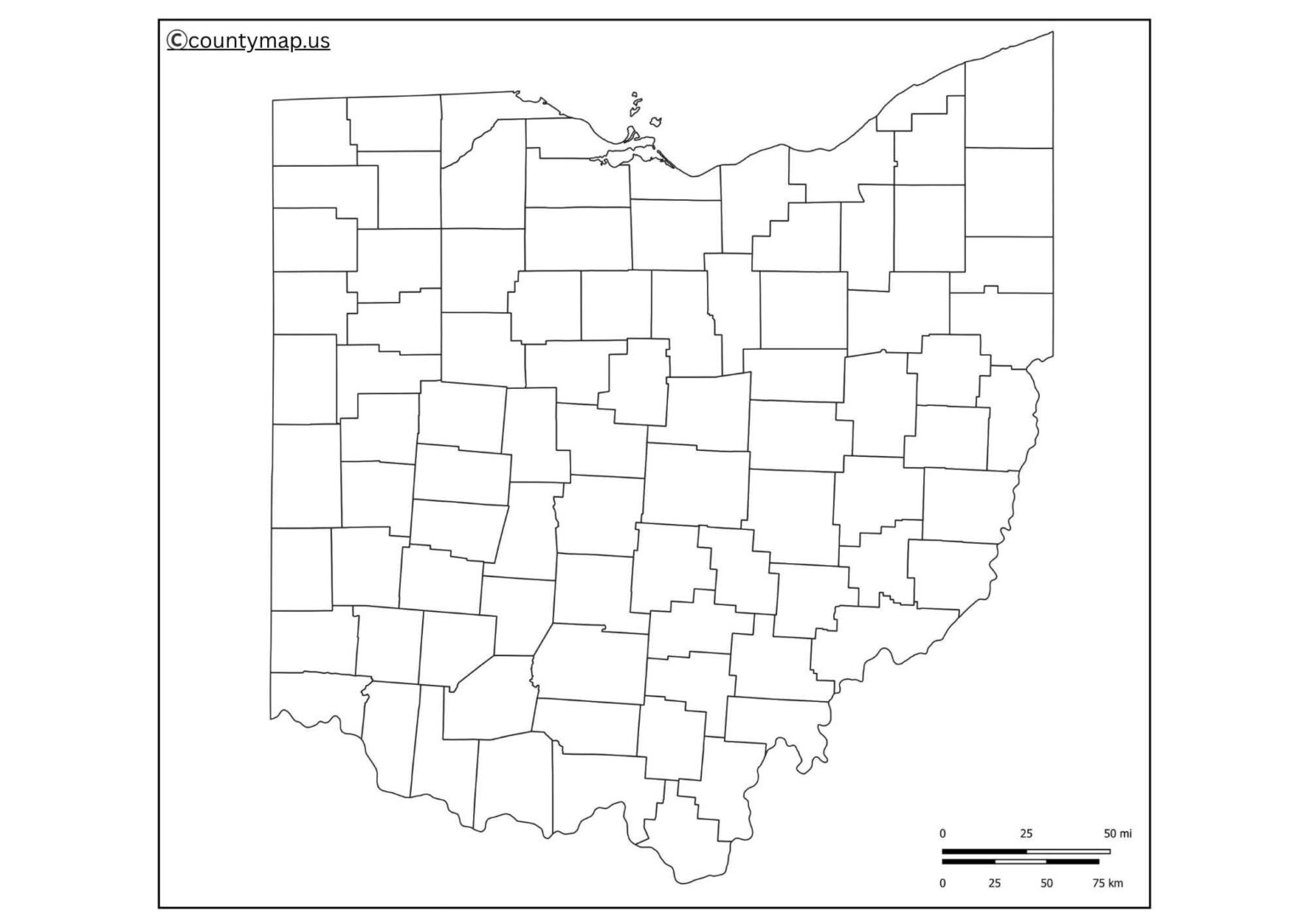
Further, the blank map can also be used by businesses and organisations in the field of logistics, marketing, and regional planning. Be it in academic work, teaching aids, or personal ga,n; a Blank Ohio Map is a convenient, versatile, and handy tool to any person who wants to learn more about the state's structure.
| Rank | City | County | Population (2025 est.) | Area (sq mi) | Population Density (per sq mi) |
| 1 | Columbus | Franklin | 933,263 | 223 | 4,184 |
| 2 | Cleveland | Cuyahoga | 356,556 | 78 | 4,587 |
| 3 | Cincinnati | Hamilton | 312,094 | 79 | 3,969 |
| 4 | Toledo | Lucas | 261,989 | 81 | 3,249 |
| 5 | Akron | Summit | 189,664 | 62 | 3,084 |
| 6 | Dayton | Montgomery | 134,189 | 57 | 2,367 |
| 7 | Parma | Cuyahoga | 77,611 | 20 | 3,880 |
| 8 | Canton | Stark | 68,239 | 27 | 2,529 |
| 9 | Lorain | Lorain | 65,411 | 24 | 2,726 |
| 10 | Hamilton | Butler | 63,953 | 18 | 3,553 |
Uses of Blank Ohio OH Map Outline PDF
Educational Purposes
- An empty map of Ohio is a popular one in schools, colleges, and universities.
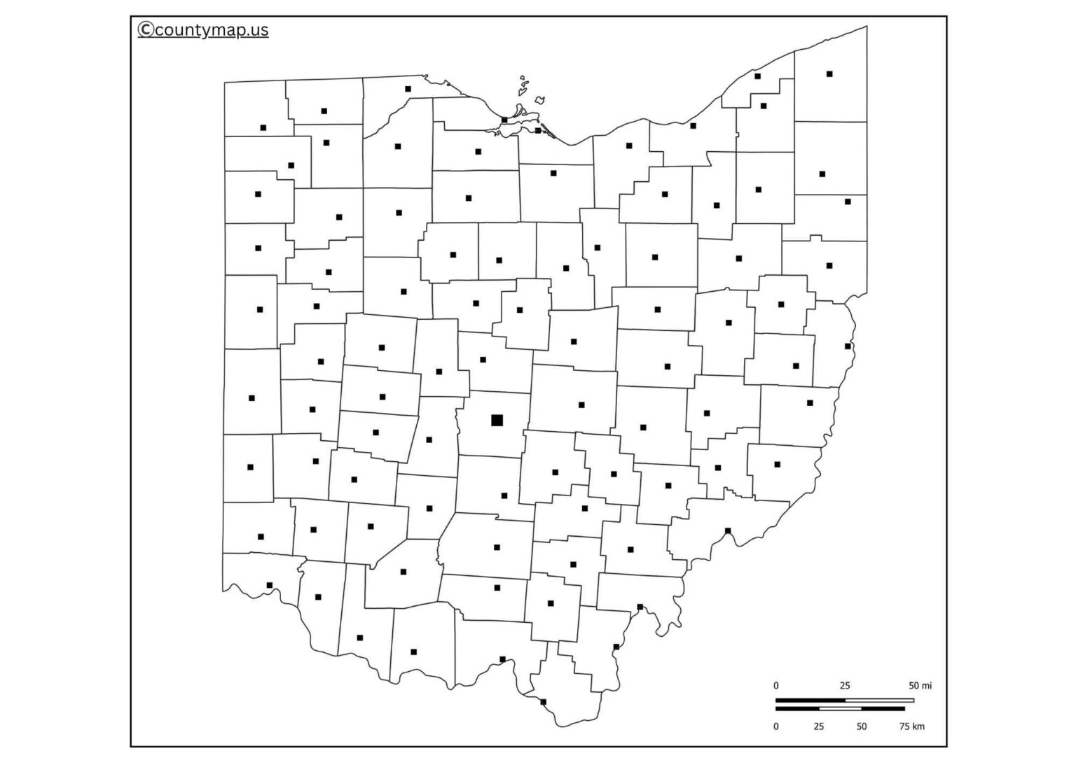
- The students will be able to train on the recognition of counties, the marking of large cities such as Columbus, Cleveland and Cincinnati, as well as finding rivers and highways.
- It is regularly used in assignments, worksheets, and quizzes by teachers in order to cement geographical knowledge.
- It also makes the students learn the position of Ohio concerning the other states in the Midwest.
Geography Projects
- Blank maps are very good when one wants to do geography projects and presentations.
- They enable the students and researchers to draw places of particular features like natural resources, population distribution, climate zones, and agricultural regions.
- Being unlabeled, the map can be customised by users to a particular topic or data.
Travel and Tourism Planning
- A blank Ohio map will enable travellers to plan the trip, as well as mark tourism attractions and routes in the state.
- There are various attractions in Ohio, such as the Rock and Roll Hall of Fame in Cleveland, Hocking Hills State Park, and amusement parks such as Cedar Point.
- An empty map offers a traveller the opportunity to create his or her own journey visually and plan his or her tours properly.
Business and Marketing
- The regional planning and marketing strategies in companies are usually created on blank maps.
- Businesses are able to note target markets, sales areas or distribution channels throughout Ohio.
- Blank maps are particularly popular with logistics and transport companies who use them to design supply chains and to mark delivery networks.
Research Studies and History.
- Historical records, territorial boundaries and population changes are recorded by the use of blank Ohio maps by researchers and historians.
- They assist in the analysis of political, social and economic processes in the state.
- Customising a blank map enables scholars to see how demographics, voting patterns or settlement history change.
Personal and Creative Use
- Users can take a plain map of Ohio and incorporate it into their creative activities like crafts, posters or wall art.
- The projects can be designed with colours, themes, and designs to make personalised projects.
- Visitors can also carry it as a visual journal to tick items that they have been to.
Exams and Competitive Tests
- Blank maps are better to use in case a competitive exam aspirant is doing geography-based questions.
- Drill using a plain map of the state of Ohio enhances the memorisation of cities, counties and physical features.
- It is a good educational resource for improving the ability to read a map.
Conclusion
An Ohio Map that is Blank is not merely a map of the state; it is a multi-purpose tool that has unlimited uses. It serves a wide range of needs in classrooms as well as business offices, in travelling planning as well as research. The students enjoy the advantage of enhancing their knowledge base in geography, and the travellers and businesses take it as a practical tool to plan. Trends and data can be easily visualised by historians and researchers. This gives it one of the most useful tools to anyone who is interested in Ohio due to its flexibility. The blank Ohio map is a highly versatile and essential tool whether it comes to learning, planning or even creativity.