Loading content...
Blank Tennessee Map | Printable TN Map PDF

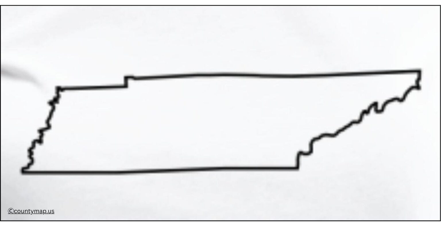
Blank Tennessee maps are useful for education, research, travel, and professional projects. The state of Tennessee in the southeastern United States features a wide range of geographical features: mountains in the east, fertile plains to the west, and rolling hills in the centre. New: A blank outline means that the user can customise the map for whatever they need, allowing it to be used for multiple different purposes.
Blank maps have been used to check pupils' knowledge of Tennessee animation counties, cities, rivers and major landmarks. One more way for students to actively participate is to label features, colour-code regions, or mark important places, which helps with retaining information and comprehension. Travellers will be able to plot trips by adding routes and tourist spots such as the Great Smoky Mountains, Memphis and Nashville, among others. They are often blank maps that can be utilised to demonstrate specific population-related, historical or environmental data.
Free Printable Blank Tennessee Map
A blank Tennessee map is much more flexible and more explicit than typical pre-labelled maps. For classroom or personal use, or for hotel/restaurant travel planning, data analysis, or presentations, it is a multifaceted feature geared to inspire exploration, learning and creative representations of the geography that make up our state.
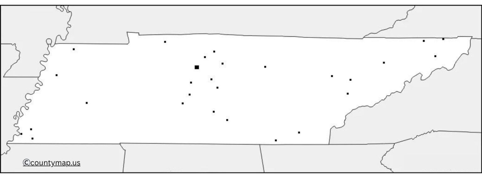
| Rank | City | Population (2025) | Area (sq mi) | County(s) |
| 1 | Nashville-Davidson | 729,505 | 475 | Davidson |
| 2 | Memphis | 610,919 | 317 | Shelby |
| 3 | Knoxville | 198,722 | 104 | Knox |
| 4 | Chattanooga | 191,496 | 143 | Hamilton |
| 5 | Clarksville | 185,690 | 99 | Montgomery |
| 6 | Murfreesboro | 168,387 | 64 | Rutherford |
| 7 | Franklin | 89,142 | 43 | Williamson |
| 8 | Johnson City | 73,635 | 44 | Washington |
| 9 | Jackson | 69,303 | 59 | Madison |
| 10 | Hendersonville | 63,947 | 43 | Sumner |
| 11 | Smyrna | 60,302 | 40 | Rutherford |
| 12 | Spring Hill | 59,398 | 43 | Williamson |
| 13 | Kingsport | 57,109 | 44 | Sullivan |
| 14 | Bartlett | 56,708 | 22 | Shelby |
| 15 | Gallatin | 52,489 | 44 | Sumner |
| 16 | Columbia | 53,000 | 40 | Maury |
| 17 | Lebanon | 52,000 | 43 | Wilson |
| 18 | Cookeville | 35,000 | 25 | Putnam |
| 19 | Cleveland | 50,000 | 25 | Bradley |
| 20 | Morristown | 31,000 | 30 | Hamblen |
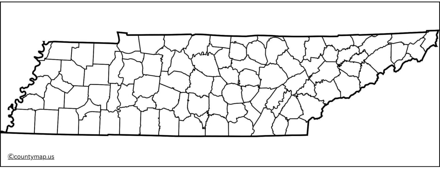
Uses of Blank Tennessee TN Map Outline PDF
Learn What You Can Teach Students
- Blank Tennessee maps are commonly used in the classroom to cover geographic and local history.
- Feature: Students can label counties, major cities such as Nashville and Memphis, rivers, and features.
- Blank maps enable teachers to create interactive activities, quizzes, and projects while also promoting active learning and better retention.
Travel Planning and Tourism
- Fortravellers' blank Tennessee maps provide a way to designate routes, landmarks, and destinations.
- We could find a way to weave efficient road trips across the state around locations like the Great Smoky Mountains, Chattanooga, or the Mississippi River.
- The map also tracks campgrounds, scenic drives and historical sites, forming a customised travel guide.
Research and Data Visualisation
- Population, Climate, Historical and Other Blank Tennessee Maps for Research.
- Blank Tennessee maps can be used by researchers visually to show population, climate, or historical data, etc.
- Environmental scientists may indicate protected areas, floodplains, or features of nature.
- Experts may emphasise specific passages of significant events or movements.
- A blank map is great if one desires a clean slate to present even complex data in a logical and attractive manner.
Business and Marketing Applications
- Businesses situated in Tennessee can avail of blank maps for logistics planning, market analysis, and presentations.
- It can be used to point out distribution centres, sales regions, or customer coverage areas to give you a quick, overall view of how operations function.
Cultural and Historical Studies
- Historians and cultural workers sometimes use blank maps to illustrate the evolution of Native American land categories, as well as settlements in Tennessee, in conjunction with a variety of historical maps.
- This deepens understandings of the cultural and social history of the state while also being able to see a physical representation of change over time..
Creative Projects and Presentations
- It contains various types of blank Tennessee maps useful for all types of assignments, projects, and professional presentations.
- Suitable for school work, business reports, or creative projects, it allows users to highlight specific information only.
- Thanks to its flexibility, it is a versatile tool that you can use and reuse as appropriate.
Conclusion
A Blank Tennessee Map serves as a resourceful tool for education, research, travel, and work. Its all-inclusiveness and simplicity allow a user to personalise it for identifying countries, planning travel itineraries and exploring and analysing quantitative information, or even presenting evidence. The blank map serves as an effective learning tool, inspiring creativity and simple and effective visualisation that does not distract from the geographic element being learned and presented. For students, teachers, travellers, and professionals, a blank Tennessee map is the best resource to make understanding and exploration of the state much easier and engaging. Research shows that a blank map is a helpful tool for understanding your world. A blank map is a resource that everyone can use for mapping that is practical and adaptable.


