Loading content...
Blank Rhode Island Map | Printable RI Map PDF
The Blank Rhode Island Map is a great source of any person who wants to learn the geography of the smallest state of the U.S. Nevertheless, Rhode Island, in spite of its size, has an impressive history, stunning coastline, and separate counties and cities. An empty map can give a bare sketch of the state, and can be easily labelled and personalised to the requirements of study, research, or travel.
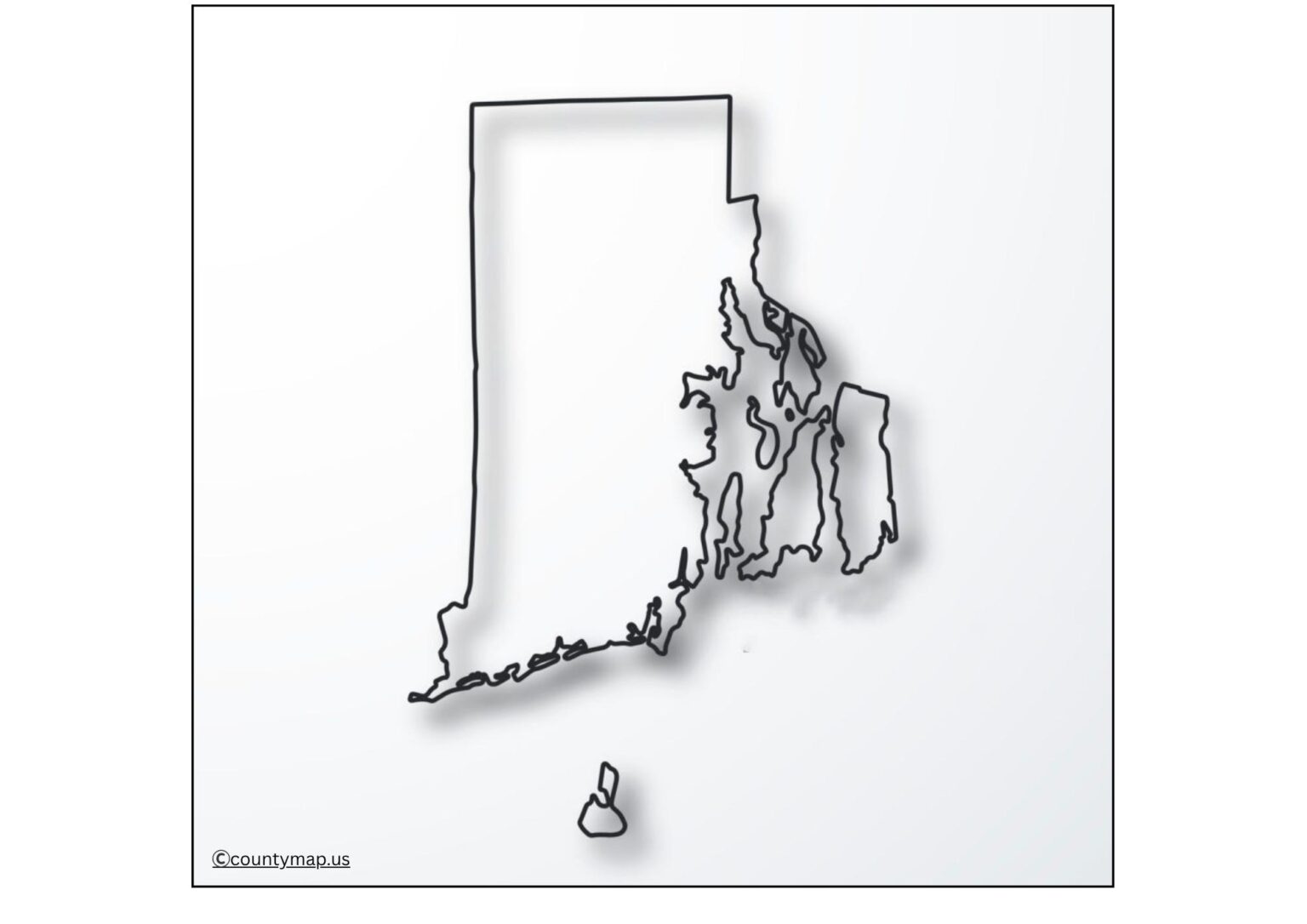
This map is ideal when studying the counties, major cities, rivers, and coastal features of Rhode Island in case of students. Blank maps often come in the form of interactive worksheets that allow teachers to make their lessons more interactive, enhancing the ability of a student to remember information and grasp geography better.
Free Printable Blank Rhode Island Map
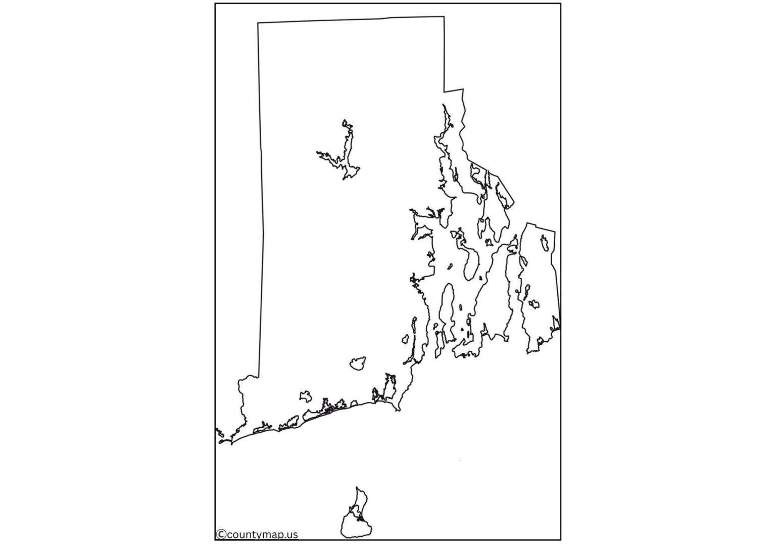
Additionally useful to academics, a Blank Rhode Island Map can be helpful to travellers, researchers, and business planners. Visitors are able to add locations like Providence, Newport, or Block Island, and researchers can overlay demographic, environmental, or economic information. The map can be used by businesses to analyse the market, plan their delivery routes within the state, and conduct a logistics analysis.
Altogether, the Blank Rhode Island Map is a simple yet functional instrument that can be considered very adaptive and practical. It allows users to navigate and map out the geography of the state in an easy-to-understand and customised format applicable in various uses.
| Rank | City | County | Population (2025 est.) | Area (sq mi) | Population Density (per sq mi) |
| 1 | Providence | Providence | 194,706 | 19 | 10,528 |
| 2 | Cranston | Providence | 84,448 | 28 | 3,015 |
| 3 | Warwick | Kent | 83,554 | 19 | 4,396 |
| 4 | Pawtucket | Providence | 76,996 | 10 | 7,772 |
| 5 | East Providence | Providence | 47,961 | 6 | 7,994 |
| 6 | Woonsocket | Providence | 41,000 | 8 | 5,125 |
| 7 | Cumberland | Providence | 35,000 | 24 | 1,458 |
| 8 | Coventry | Kent | 35,000 | 33 | 1,061 |
| 9 | North Providence | Providence | 33,000 | 5 | 6,600 |
| 10 | South Kingstown | Washington | 30,000 | 66 | 454 |
| 11 | Newport | Newport | 25,000 | 11 | 2,273 |
| 12 | Bristol | Bristol | 22,000 | 10 | 2,200 |
| 13 | Westerly | Washington | 23,357 | 16 | 1,460 |
| 14 | Barrington | Bristol | 17,322 | 6 | 2,887 |
| 15 | Middletown | Newport | 17,000 | 6 | 2,833 |
| 16 | Jamestown | Newport | 5,000 | 5 | 1,000 |
| 17 | Little Compton | Newport | 3,500 | 6 | 583 |
| 18 | Tiverton | Newport | 16,000 | 24 | 667 |
| 19 | Portsmouth | Newport | 17,000 | 24 | 708 |
| 20 | East Greenwich | Kent | 14,000 | 6 | 2,333 |
| 21 | West Warwick | Kent | 29,000 | 7 | 4,143 |
| 22 | West Greenwich | Kent | 7,000 | 50 | 140 |
| 23 | Hopkinton | Washington | 8,000 | 60 | 133 |
| 24 | Charlestown | Washington | 8,000 | 26 | 308 |
| 25 | Richmond | Washington | 8,000 | 26 | 308 |
| 26 | Exeter | Washington | 6,000 | 24 | 250 |
| 27 | North Kingstown | Washington | 27,000 | 25 | 1,080 |
| 28 | Scituate | Providence | 11,000 | 57 | 193 |
| 29 | Glocester | Providence | 10,000 | 46 | 217 |
| 30 | Foster | Providence | 4,000 | 41 | 98 |
| 31 | Smithfield | Providence | 22,000 | 24 | 917 |
| 32 | North Smithfield | Providence | 12,000 | 30 | 400 |
| 33 | Burrillville | Providence | 16,000 | 28 | 571 |
| 34 | Lincoln | Providence | 22,000 | 6 | 3,667 |
| 35 | Central Falls | Providence | 19,000 | 1 | 19,000 |
| 36 | Johnston | Providence | 29,000 | 5 | 5,800 |
| 37 | Cranston | Providence | 84,448 | 28 | 3,015 |
| 38 | Providence | Providence | 194,706 | 18.5 | 10,528 |
| 39 | Pawtucket | Providence | 76,996 | 9.9 | 7,772 |
Uses of Blank Rhode Island RI Map Outline PDF
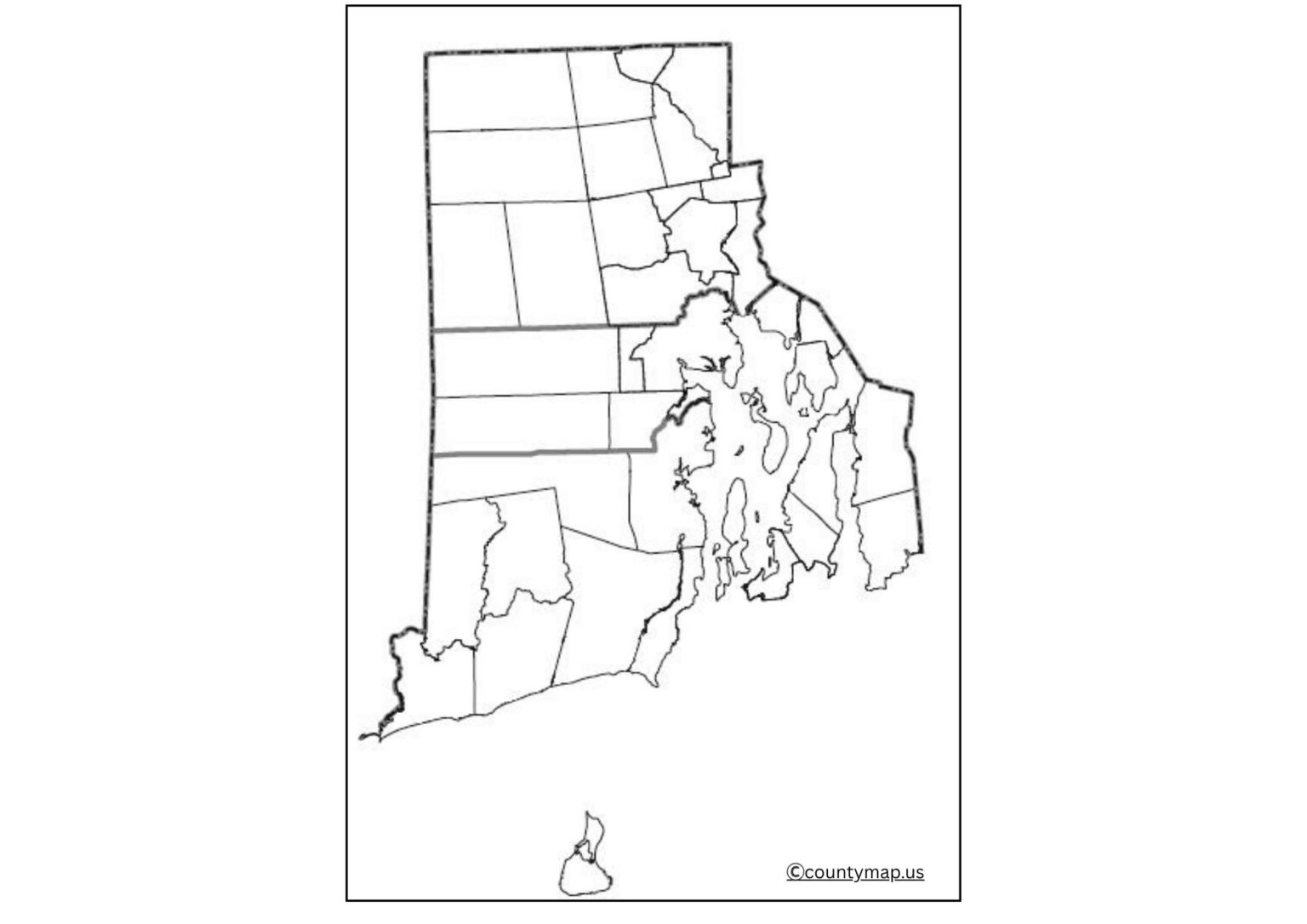
A Blank Rhode Island Map has numerous applications in education, research, travelling and business. The following are the applications in detail:
Geography Learning and Educational Worksheets.
- Blank maps are usually applied in the classroom where the students are asked to mark the counties, cities, rivers, and coastline of Rhode Island.
- Labelling activities improve learning and enable students to have the capacity to remember geographic information.
History and Cultural Studies.
- Teachers and historians refer to blank Rhode Island maps to explain the events of the past, the settlement of colonies, and the areas of cultural life.
- As an example, the history of early settlements in Providence or the maritime history of Newport can be depicted using maps.
Research and Data Visualisation.
- Blank maps can be used to display demographic, environmental or economic data to the researchers.
- The state of Rhode Island is small in size, giving the advantage of visualising statistics such as population density, tourism patterns or industry distributions.
Tourism and Travel Planning
- Rhode Island enjoys a high tourist attraction as the coastal sightseeing, beaches and historic landmarks.
- Blank maps enable the travellers to navigate through the area, label the destinations, such as Newport Mansions or Block Island, and make plans time-efficiently.
Business and Market Planning.
- The blank maps can be tailored to the companies in order to analyse the markets, supply chains and distribution networks within Rhode Island.
- They can determine shopping centres, delivery tracks and where businesses can be developed.
Environment and Agricultural Research.
- Environmental research can be mapped on the rivers, coastlines and farmlands of the state.
- Researchers and learners are able to monitor nature, beach dynamics or farms and agricultural areas.
Personal and creative Projects.
- Blank Rhode Island maps are perfect when it comes to school projects and also posters, as well as presentations, and travel journals.
- Their simplicity presents the user with an opportunity to create custom visuals either for academic, professional purposes or personal use.
Conclusion
The Blank Rhode Island Map is useful foanyoneyoe be it a student, a teacher, a traveller, a researcher or a business. The blank outline is great for labelling data or routes and making it look pretty. This map gives you a trusted base for learning your way around the state’s counties, plotting your next scenic coastal getaway, doing research, or otherwise running to ground whatever projects you are working on. It is a useful overview of Rhode Island geography and culture thatusableable in classrooms and offices alike. It is an integral resource for anyone who wants to experience, understand, or portray this quaint and historic New England state because it is versatile for educational and practical settings.


