Loading content...
Blank South Dakota Map | Printable SD Map PDF
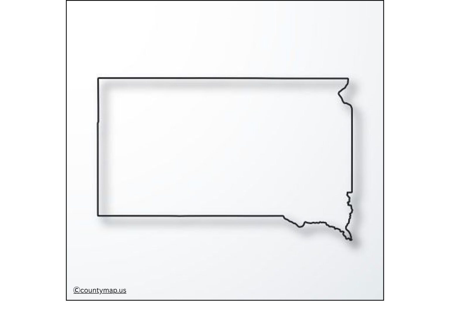
The Blank South Dakota Map is a flexible instrument that can be utilized by students, teachers, researchers, and travelers who need to have an outline of the state that is clear and customizable. A blank map is the best way to get a clean canvas, unlike the detailed maps that are full of highways, cities, and other landmarks. A blank map will enable them to only highlight or add what they need.
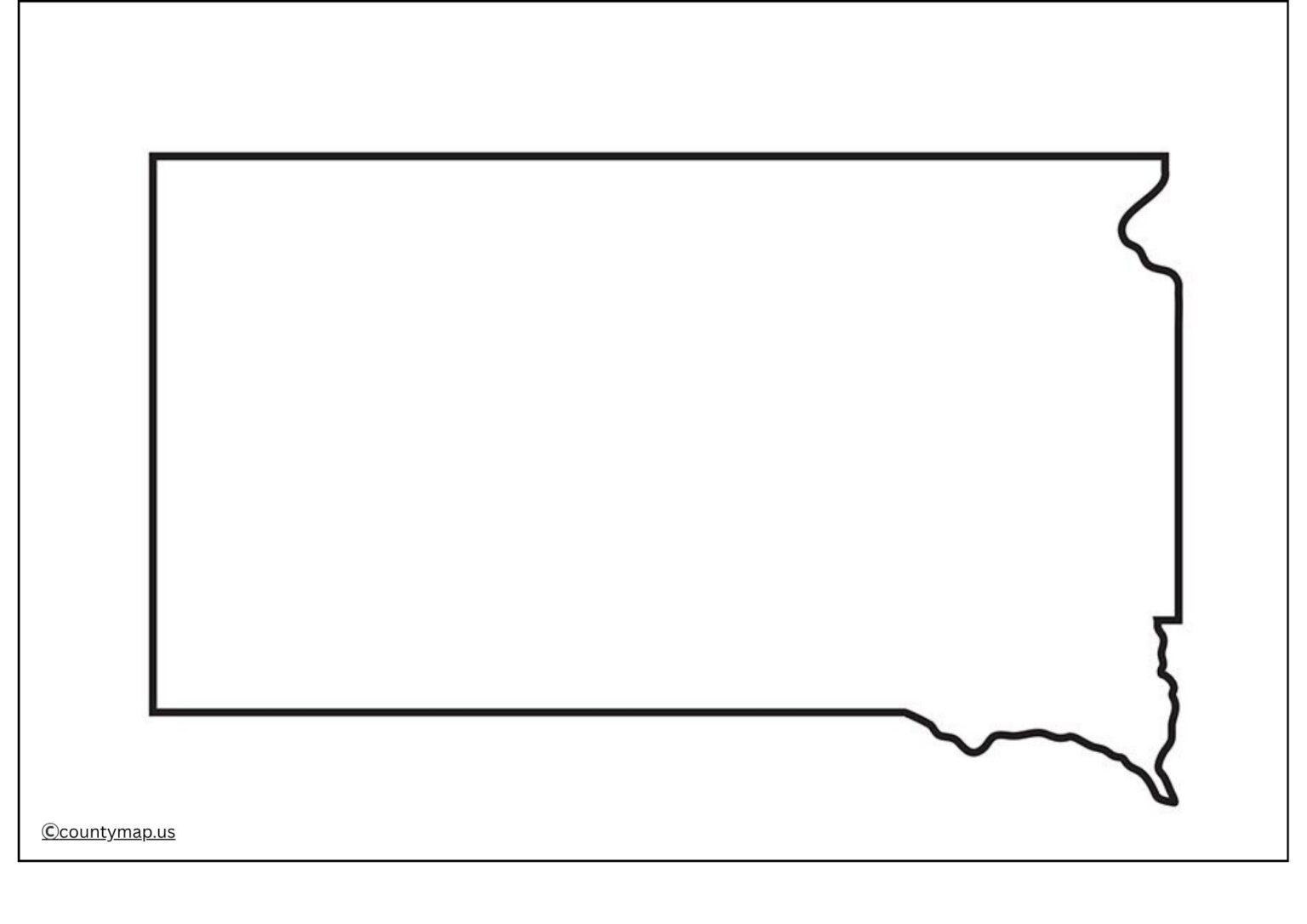
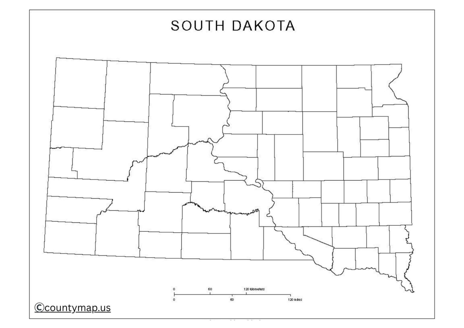
South Dakota is a region in the Midwest that is characterized by the most iconic landmarks (Mount Rushmore, Badlands National Park, and the Missouri River). The state consists of 66 counties that have different geographic and cultural characteristics. At an educational level, a blank map of South Dakota comes in handy, specifically where students label the counties, cities, rivers, and landmarks of significance. Such maps are usually introduced into classrooms in the form of activities, quizzes, and projects to make the learning process interesting and more interactive.
Free Printable Blank South Dakota Map
Researchers and professionals can also use blank maps to depict demographic information, economic regions, or environmental studies. The advantage to the travellers is to pave the paths, sightseeing sites, or natural attractions throughout the state. Essentially, a blank South Dakota map is flexible and easy to understand, making it perfect for education, research, travel planning, business, and creative projects. This makes it very simple, and users can concentrate on the information that is of the most interest to them.
| Rank | City | Population | Area (sq mi) |
| 1 | Sioux Falls | 209,289 | 83 |
| 2 | Rapid City | 79,894 | 55 |
| 3 | Aberdeen | 27,919 | 17 |
| 4 | Brookings | 24,555 | 14 |
| 5 | Watertown | 23,492 | 18 |
| 6 | Yankton | 15,670 | 9 |
| 7 | Mitchell | 15,621 | 12 |
| 8 | Huron | 14,515 | 10 |
| 9 | Pierre | 14,000 | 13 |
| 10 | Spearfish | 13,000 | 12 |
| 11 | Vermilion | 11,659 | 10 |
| 12 | Brandon | 11,500 | 10 |
| 13 | Rapid Valley | 8,066 | 10 |
| 14 | Harrisburg | 7,260 | 10 |
| 15 | Sturgis | 7,098 | 10 |
| 16 | Madison | 6,135 | 10 |
| 17 | Tea | 5,956 | 10 |
| 18 | Belle Fourche | 5,621 | 10 |
| 19 | Dell Rapids | 4,068 | 10 |
| 20 | Milbank | 3,582 | 10 |
| 21 | Hartford | 3,518 | 10 |
| 22 | Hot Springs | 3,331 | 10 |
Uses of Blank South Dakota SD Map Outline PDF
Educational Applications
- Geography lessons can be used to have students label counties, cities, rivers, and landmarks.
- Blank maps are used by teachers in classroom assignments, projects, tests, and quizzes.
- It encourages practical learning and assists students in recalling important geographical facts.
County and Political Study
- South Dakota consists of 66 counties, and blank county maps are used to memorize the location of students and researchers.
- Students of political science have an opportunity to examine electoral districts and administrative divisions.
- Applicable in exams, competitive tests, and classroom activities on U.S. geography.
Travel and Tourism Planning
- Visitors are able to check out the great attractions such as Mount Rushmore, Badlands National Park, and Custer State Park.
- Travel planners are blank maps on which they indicate routes, itineraries, and scenic drives.
- Hiking, camping, and wildlife-watching destinations can be planned by enthusiasts of the outdoors.
Research and Analysis
- Researchers can visualize population distribution, economic activity, and environmental data on an empty map.
- It is used by environmentalists to identify the places where there are rare protected areas, rivers, and forests.
- Historians can map historic happenings, settlements, and migration routes.
Business and Profession.
- Firms can display sales territories, service locations, and distribution channels.
- It is also used by real estate professionals in order to point out zones or areas of development.
- The blank maps make the presentations easy, and the reports appear clear and informative in a visual way.
- Projects of a creative and personal nature. Artwork, coloring, or posters of the school can be done on blank maps.
- Users are also allowed to record a trip by checking in at destinations.
- Do-it-yourselfers may make scrapbooks, wall paintings, or learning items.
Government and Planning
- Blank maps are utilized by local and state governments in planning infrastructure, zoning, or services to the populace.
- Disaster preparedness plans and evacuation routes can be marked by emergency management teams.
- Visual clarity is useful to policymakers in presenting data on regions to the people.
Conclusion
The Blank South Dakota Map is a tool that cannot be ignored by students, teachers, travelers, researchers, and professionals. The clean design can be customized to display the information that is most relevant to the user, which is why it can be utilized in educational applications, data visualization, travel planning, and business presentations. Blank maps create interaction, creativity, and clarity in any project or activity by offering an easy-to-use and interactive canvas. A blank South Dakota map is accurate and convenient whether it is in use in learning, research or planning. It is a key source for any person dealing with geography and the administrative divisions of South Dakota.


