Loading content...
Blank Utah Map | Printable UT Map PDF

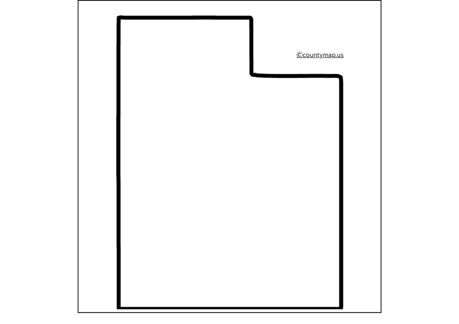
The Blank Utah Map is an extremely useful tool that can be applied in spheres of education, research, business, and travel organizations. Utah is a state in the western United States that is characterized by immense deserts, mountain ranges, and unique geological formations and features such as Zion National Park, Bryce Canyon, and Arches National Park, among others. A blank outline map of Utah would be flexible since it does not have pre-drawn labels and details; the user can tailor it to his or her requirements.
Free Blank Utah Map
Blank maps of Utah are used in classrooms to practice naming counties, cities, rivers, and landmarks to make the lessons in geography more interactive. They are used by teachers as a means of testing and retaining knowledge by means of hands-on learning. The travelers also gain the advantage of marking their intended routes, destinations, and areas of interest throughout the state. Blank maps are used to analyze data or plan logistics or other information in a structured manner by businesses and researchers.
Free Printable Blank Utah County Map
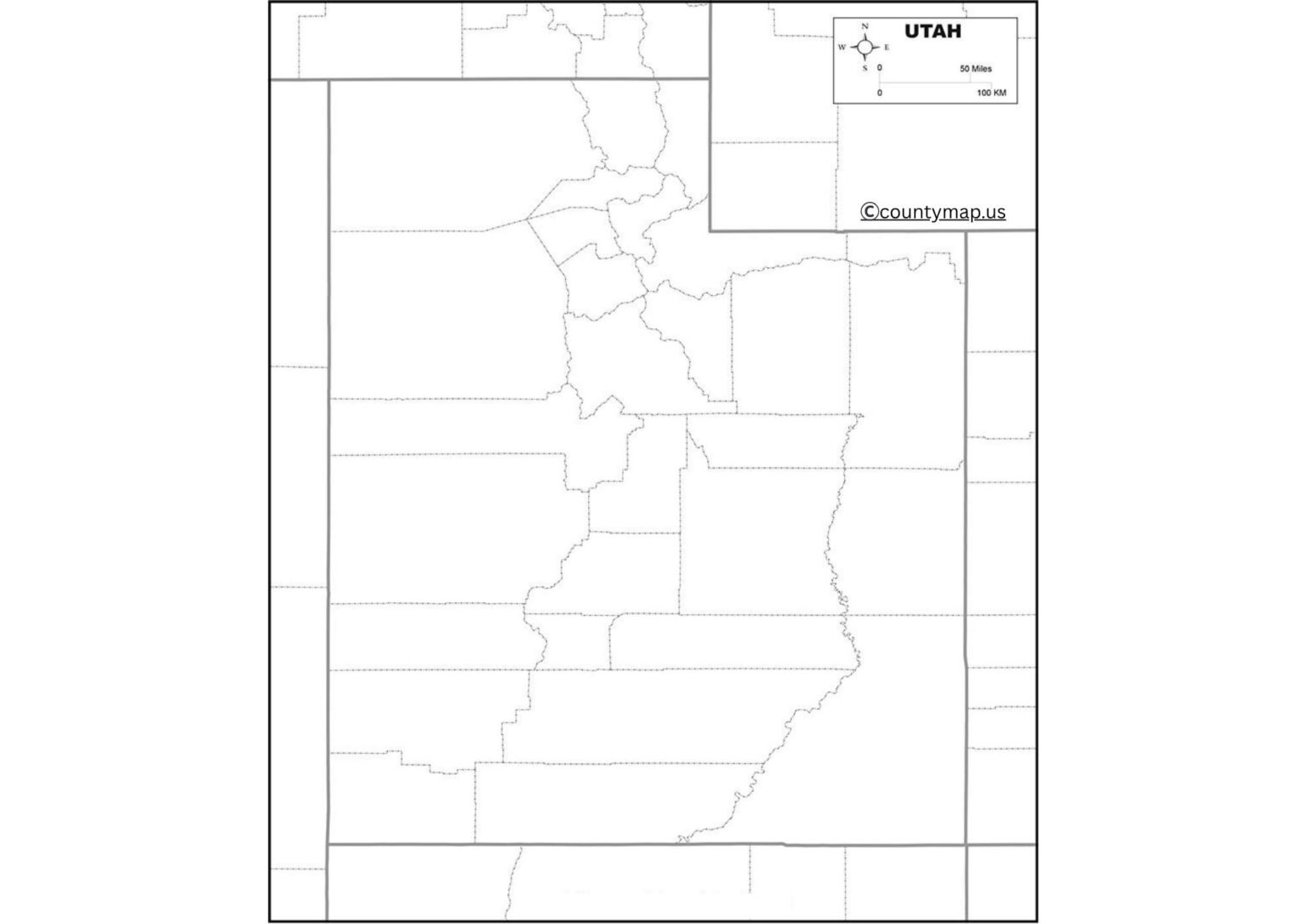
Blank maps are simple and flexible, unlike the more detailed political or physical maps. A blank Utah map can be a useful and efficient tool that can be used in school tasks, travel planning, research reports, and business projects to promote customization and learn more about the geography of the state.
| Rank | City | Population (2025) | Area (sq mi) | County(s) |
| 1 | Salt Lake City | 217,783 | 112 | Salt Lake |
| 2 | West Valley City | 138,144 | 36 | Salt Lake |
| 3 | West Jordan | 116,688 | 33 | Salt Lake |
| 4 | Provo | 115,479 | 44 | Utah |
| 5 | St. George | 106,288 | 77 | Washington |
| 6 | Orem | 96,646 | 19 | Utah |
| 7 | Lehi | 93,446 | 28 | Utah |
| 8 | Sandy | 92,840 | 24 | Salt Lake |
| 9 | Ogden | 88,656 | 26 | Weber |
| 10 | South Jordan | 86,156 | 22 | Salt Lake |
| 11 | Layton | 84,348 | 28 | Davis |
| 12 | Millcreek | 64,217 | 24 | Salt Lake |
| 13 | Herriman | 62,352 | 22 | Salt Lake |
| 14 | Eagle Mountain | 60,575 | 35 | Utah |
| 15 | Taylorsville | 57,819 | 6 | Salt Lake |
| 16 | Saratoga Springs | 57,411 | 22 | Utah |
| 17 | Bountiful | 45,762 | 13 | Davis |
| 18 | Draper | 51,017 | 21 | Salt Lake |
| 19 | Murray | 50,637 | 10 | Salt Lake |
| 20 | Bountiful | 45,762 | 13 | Davis |
Uses of Blank Utah Map [Outline UT Map]
Student and teacher educational tool.
- Blank Utah maps are also widely used in the classroom to teach state geography.
- To make sure students know their major cities, counties, rivers, and landmarks, students can label them.
- Educators may give map-based tasks, e.g., finding out the location of the Great Salt Lake, the Wasatch Mountains, or adjacent states.
- This participatory style of learning is interesting and unforgettable.
Travel Planning and Tourism
- Utah is also renowned for its national parks and scenic roads.
- An empty map gives the travellers the opportunity to map out their trips by writing down their destinations, such as Salt Lake City, Moab, Zion, and Bryce Canyon.
- The map can also be used by road trippers to monitor the highways, campgrounds, and attractions.
- This offers a customized travel guide that is designed to suit individual tastes.
Data Visualization and Research.
- Blank maps are usually needed by researchers to indicate data.
- The desolation of the Utah map forms a foundation on which a visual presentation can be made, whether it be the study of population distribution, climate zones, or historical migration patterns.
- Desert areas, mountain ranges, or even sheltered areas can be marked by environmental scientists to study and report on.
Business and Logistics Apps.
- Blank maps of Utah can be utilized by businesses to analyze the market, logistics, and operational planning.
- Corporations can emphasize distribution centers, customer areas, or delivery channels.
- Posting such data on a plain map will enable clear and easily readable reports to the stakeholders.
Historical and Cultural Studies.
- Blank Utah maps can be utilized by historians and anthropologists to display the history of the Native American tribes, early Mormon settlements, or historical events.
- This enables the visual representation of the past of Utah, which would enable the students and researchers to know its cultural and historical development.
Projects and Presentation Creative.
- Blank UT maps can also be utilized in school projects, creative work, or professional presentations.
- They do not have any pre-marked features, and so the users can highlight only the information they require in their work.
- This renders them diverse and flexible for numerous applications.
Conclusion
A free printable blank Utah County map is a very useful resource because it is flexible yet practical enough to be used in education, research, traveling, and business. Its ease of use gives the users the ability to personalize the map to their specific needs, such as selling counties in a classroom exercise, mapping a road trip, or analyzing business markets. It can stimulate creativity, better comprehension, and presentation of information because it gives a clear outline and does not include any distractions. Whether they are students, teachers, travelers, or professionals, a blank map of Utah remains an invaluable instrument that aids in the learning process, planning, and exploration in diverse areas.


