Loading content...
Explore All Maps
View every state and county map in one place.
Blank Map
Blank South Carolina Map | Printable SC Map PDF
A Blank South Carolina Map is a multi-purpose and indispensable resource of information on the state, which allows teachers, learners, scholars, tourists, and business people to obtain a clear view of the state without any labels that imply specific facts. The state of South Carolina, which is in the southeast of the United States, is characterised by its very rich history, scenic beauty, and culture. Blank maps are the best maps to understand and analyse the state because of the diverse geographic features it has been able to offer as a result from the Atlantic coastline to the Blue Ridge Mountains.
J
Jacqueline Y.22 Oct 2025
Blank Map
Blank South Dakota Map | Printable SD Map PDF
Blank South Dakota Map is a flexible instrument that can be utilised by students, teachers, researchers, and travellers, who need to have an outline of the state that is clear and customizable. A blank map is the best way to get a clean canvas, unlike the detailed maps that are full of highways and cities, and other landmarks. A blank map will enable them to only highlight or add what they need.
J
Jacqueline Y.22 Oct 2025

Blank Map
Blank Pennsylvania Map | Printable PA Map PDF
The Blank Pennsylvania Map is mostly required by students, teachers, travellers, and researchers who are looking for a clear outline map of the state of Pennsylvania that can be customised easily. Pennsylvania, a state in the northeastern U.S., is built on the age-old intertwining of history and nature, exemplifying the glory of culture and landscapes that create lasting memories in the hearts of travellers. Strategically and historically significant, the state of Pennsylvania is surrounded by New York, New Jersey, Delaware, Maryland, West Virginia and Ohio.
J
Jacqueline Y.22 Oct 2025

Blank Map
Blank Utah Map | Printable UT Map PDF
Blank Utah Map is an extremely useful tool that can be applied in spheres of education, research, business, and travel organisations. Utah is a state in the western United States that is characterised by immense deserts, mountain ranges, and unique geological formations and features such as Zion National Park, Bryce Canyon, and Arches National Park, among others. A blank outline map of Utah would be flexible since it does not have pre-drawn labels and details; the user can tailor it to his or her requirements.
J
Jacqueline Y.22 Oct 2025

Blank Map
Blank Virginia Map | Printable VA Map PDF
A Blank Virginia Map is a valuable resource to students, educators, researchers, travellers, and professionals who wish to explore or analyse the state in a more detailed and personalised manner. Virginia is a state on the East Coast of the United States, which has a rich history, a varied geography and cultural importance. The Atlantic Ocean, West Virginia, Kentucky, Maryland, Tennessee, and North Carolina are along its borders, and it is in the middle of both its geography and history.
J
Jacqueline Y.22 Oct 2025
Blank Map
Blank Vermont Map | Printable VT Map PDF
The Blank Vermont Map is a very crucial resource to any person who may want to study or do business in the geography of this U.S. northeast state. Vermont is a very interesting place to study, with well-known scenic mountains, maple syrup production, and a historic part in the history of America. An empty map offers a clean and easy sketch of the state, where people can also draw on it, label and customise it to make it look interesting.
J
Jacqueline Y.22 Oct 2025
Blank Map
Blank Texas Map | Printable TX Map PDF
Blank Texas Map is a rather basic, but effective, tool that offers a map of the state without any labels, boundaries, or other details. Texas is the second largest state in the United States, which is characterised by expansive landscapes, varied geography and rich cultural heritage. Having the borders with Mexico to the south and such states as New Mexico, Oklahoma, Arkansas, and Louisiana, Texas is of great geographical and historical significance.
J
Jacqueline Y.22 Oct 2025
Blank Map
Blank Washington Map | Printable WA Map PDF
A Blank Washington Map is a necessary tool in the case of students, teachers, researchers and travellers who require a clear outline of the state but do not need additional information. In contrast to the map with a detailed representation of the cities, highways, and landmarks, a blank map provides a simplified image, which can be customised and edited by the user based on his or her requirements.
J
Jacqueline Y.22 Oct 2025
Blank Map
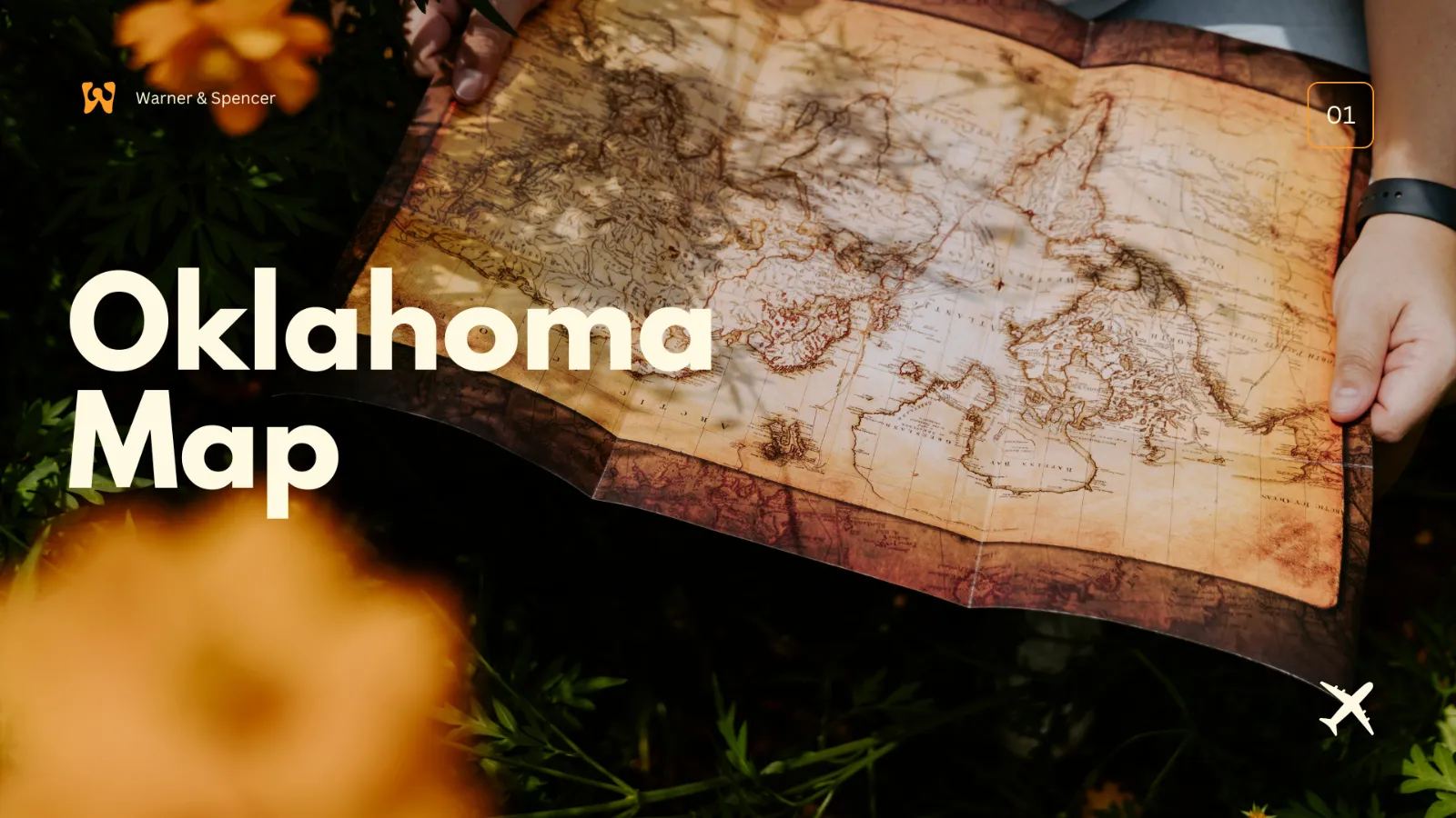
Blank Oklahoma Map | Printable OK Map PDF
Blank Oklahoma Map is a valuable tool to students, educators, researchers, and even travelling people who need to be able to explore the geography of the state without labels. Oklahoma is in the South-Central part of the United States, and it is a diversified area in terms of its landscape; there are plains, forests and hills. With a blank map of Oklahoma, users can customise the contents depending on their needs, be it for educational, research or travelling purposes.
J
Jacqueline Y.22 Oct 2025

Blank Map
Blank Ohio Map | Printable OH Map PDF
Bank Ohio Map is one such tool that provides an easy and understandable illustration of the state minus labels, markings and any other details. Ohio, which is located in the Midwest, borders Pennsylvania, West Virginia, Kentucky, Indiana, and Michigan, and takes Erie to the north. Being strategically located, Ohio has a significant contribution to the history, geography, transportation, and culture of the U.S. An empty outline map of Ohio gives the user the flexibility to make the map suit various needs, including education, travel, research and presentations.
J
Jacqueline Y.22 Oct 2025