Loading content...
Explore All Maps
View every state and county map in one place.
County Map
Vermont County Map | VT Counties with Cities
The Vermont County Map is an instructive tool that allows one to have a clear picture of the administrative sub-units and the geography of the state. Vermont is a state of picturesque landscapes, rolling hills, and small towns, which has 14 counties, each with its own peculiarities and local culture. The county map is quite detailed, indicating the largest cities, towns, rivers, roads, and other natural features, which is why it is useful to residents, travellers, educators, and researchers.
J
Jacqueline Y.22 Oct 2025
County Map
Pennsylvania County Map | PA Counties with Cities
Pennsylvania County Map, there are 67 counties boasting their own cultural and economic history, and the county map allows us to explore urban metropolises like Philadelphia, Pittsburgh, and Harrisburg, along with smaller towns and the land of trees and farms, and to see how all of these things impact settlement patterns and economic activity in the state.
J
Jacqueline Y.22 Oct 2025
County Map
Rhode Island County Map | RI Counties with Cities
The Rhode Island County Map showcases all five counties in the smallest state in the United States to help users fully understand its geography and structure with administrative divisions. This map is particularly useful for students, travellers, researchers, or anyone seeking to learn more about Rhode Island because it demonstrates county boundaries, county seats, and major roads for easy and accurate navigation.
J
Jacqueline Y.22 Oct 2025

County Map
Virginia County Map | VA Counties with Cities
The Virginia County Map provides a complete display of the 95 counties and independent cities of the state so that users understand the geographic structure of Virginia and the administrative divisions within the Commonwealth. It is a valuable resource for students, travellers, researchers, and anyone who wants to understand Virginia. The map provides county boundaries and county seats and shows major roads for easy navigation and exploration. Virginia is diverse and shares landscapes ranging from the Atlantic coastline to the Blue Ridge Mountains and the Piedmont region.
J
Jacqueline Y.22 Oct 2025
County Map
Tennessee County Map | TN Counties with Cities
The Tennessee County Map presents a collective view of all counties in the State of Tennessee, their locations and cities, highways, rivers and waterways, and other geographical characteristics. Tennessee has 95 counties, each with its own culture, history, and economy. The map visually indicates where each of the county boundaries lies, which can be beneficial, especially for school students, researchers, travellers, and planners.
J
Jacqueline Y.22 Oct 2025
County Map
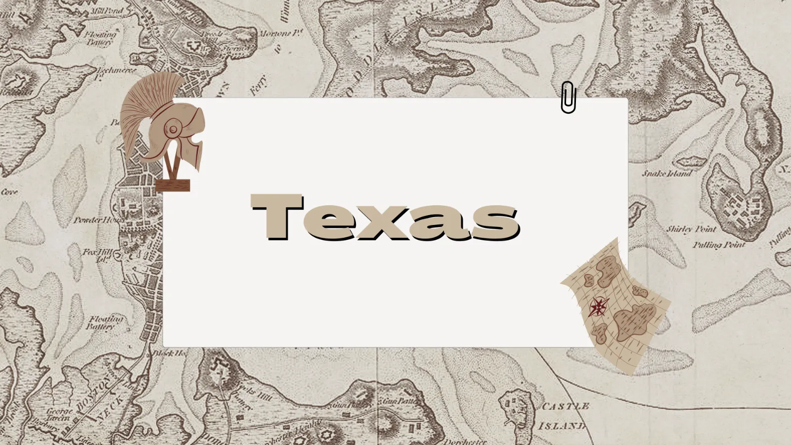
Texas County Map | TX Counties with Cities
The Texas County Map provides an excellent visual illustration of the counties across the state, including the boundaries, larger cities, highways, and natural features of the counties; a useful resource for tourists, students, and planners. The map also shows the county's population, economic centres, and land features, which gives the reader an immediate understanding of the land features of Texas.
J
Jacqueline Y.22 Oct 2025
County Map
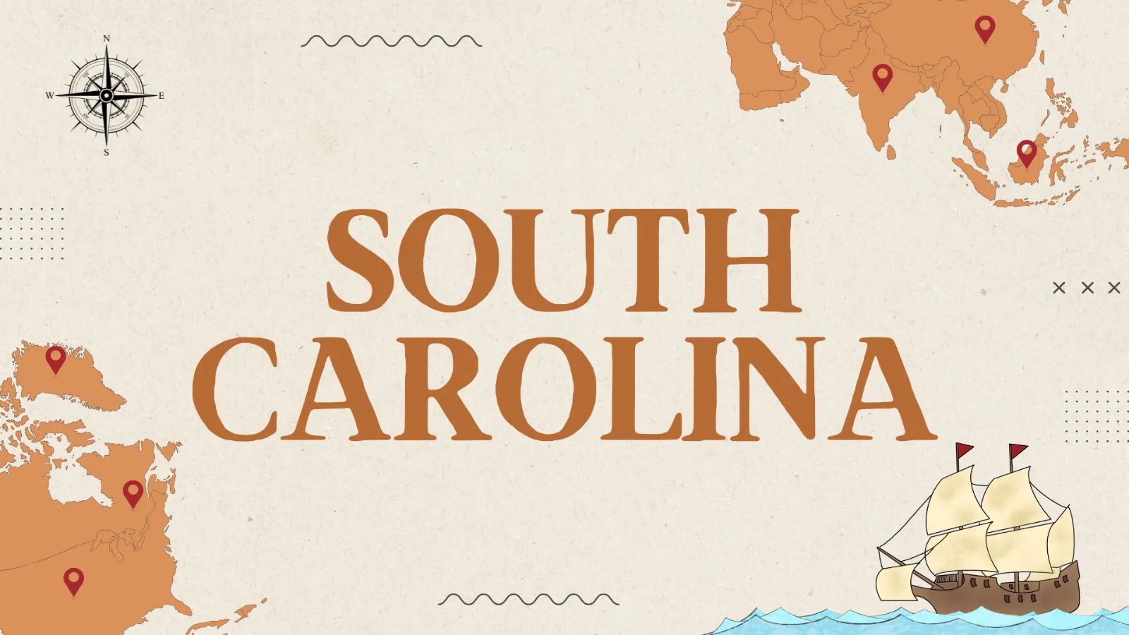
South Carolina County Map | SC Counties with Cities
The South Carolina County Map is a detailed map that shows the 46 counties within the state, as well as their geographical structure and major attractions. South Carolina is known to have varied landscapes such as coastal plains and beaches, rolling hills and mountains, and an elaborate county map will guide one through these parts. The map would be of great importance as it singles out major cities, towns, rivers, highways, and natural landmarks, and thus is of great importance to both students and travellers, researchers, and residents.
J
Jacqueline Y.22 Oct 2025
County Map
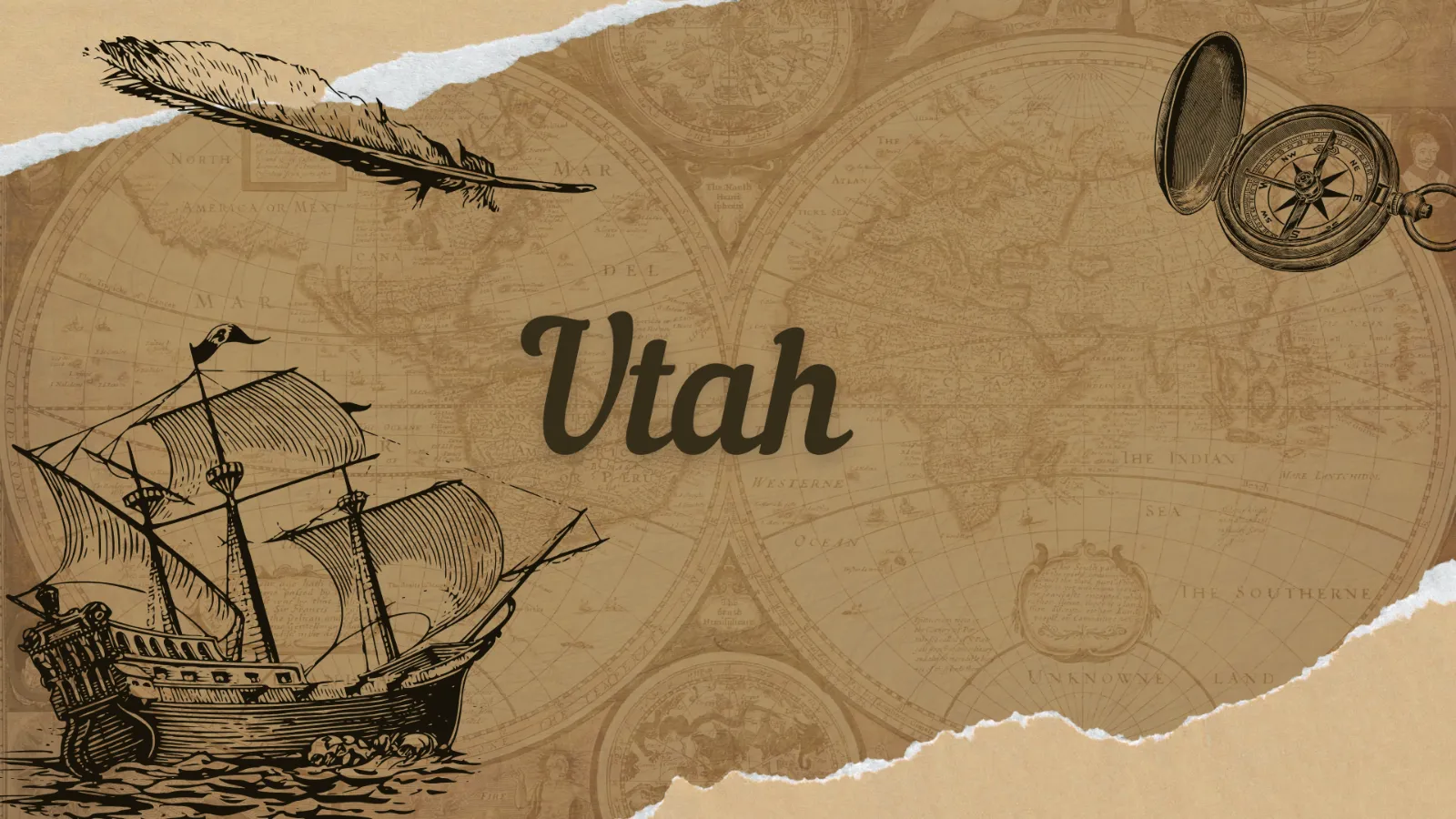
Utah County Map | UT Counties with Cities
The Utah County Map is a priceless resource to students,travellerss researchers and any other interesteindividualsal to the geographic and administrative boundaries of the state, as well as supplying insights into the population composition and the transportation routes and other attractions of the state.
J
Jacqueline Y.22 Oct 2025

Blank Map
Blank Tennessee Map | Printable TN Map PDF
Blank Tennessee maps are useful for education, research, travel, and professional projects. The state of Tennessee in the southeastern United States features a wide range of geographical features: mountains in the east, fertile plains to the west, and rolling hills in the centre. New: A blank outline means that the user can customise the map for whatever they need, allowing it to be used for multiple different purposes.
J
Jacqueline Y.22 Oct 2025
No Image
Blank Map
Blank Rhode Island Map | Printable RI Map PDF
The Blank Rhode Island Map is a great source of any person who wants to learn the geography of the smallest state of the U.S. Nevertheless, Rhode Island, in spite of its size, has an impressive history, stunning coastline, and separate counties and cities. An empty map can give a bare sketch of the state, and can be easily labelled and personalised to the requirements of study, research, or travel.
J
Jacqueline Y.22 Oct 2025